Invented Territories: Maps, Power and the Colonial Atlantic Exhibition Overview
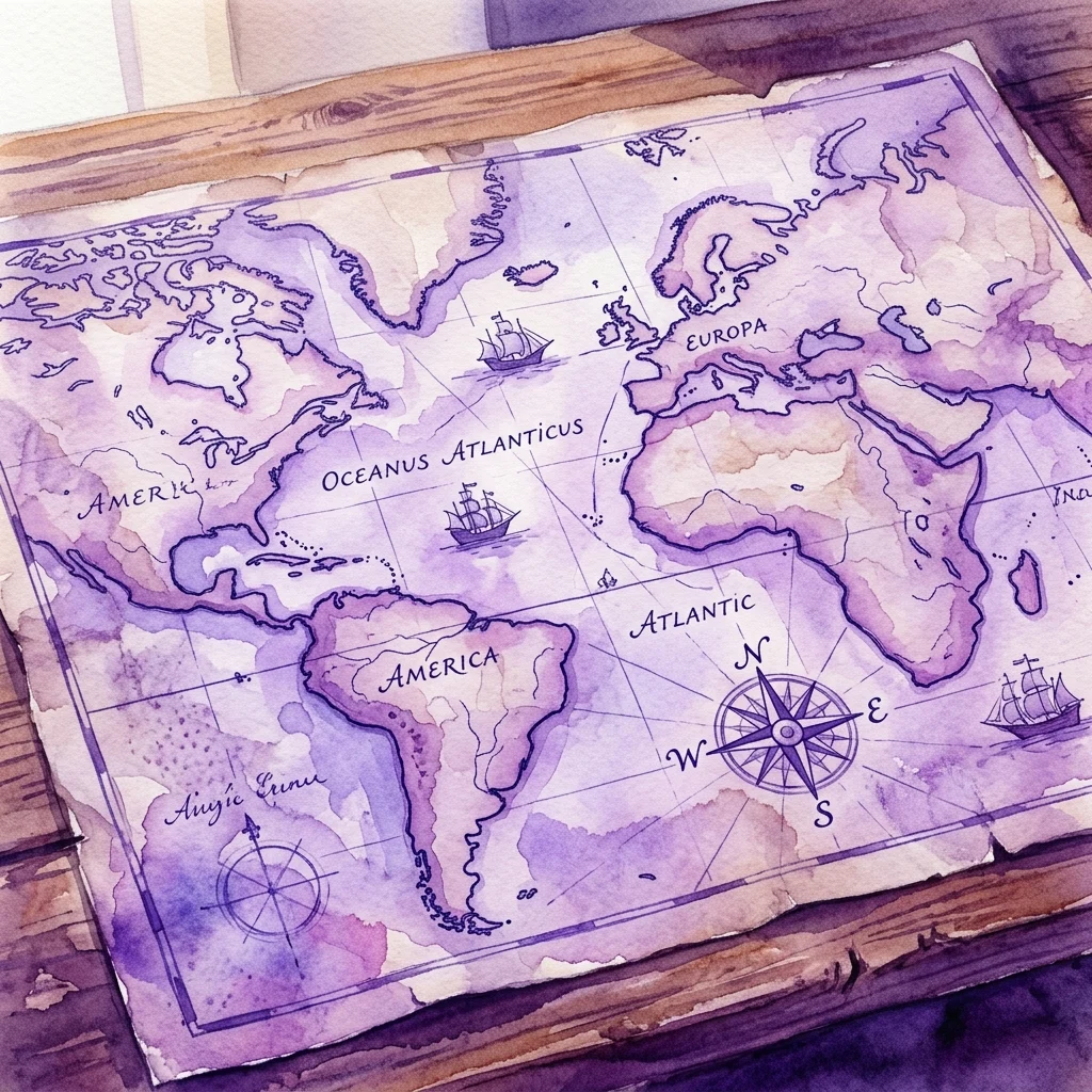
A virtual study of 18th-century colonial cartography and imperial influence.
Discover how historical maps served to define boundaries and consolidate power across the Atlantic. This digital project invites viewers to engage with archival materials and participate in ongoing research efforts.
View Exhibition