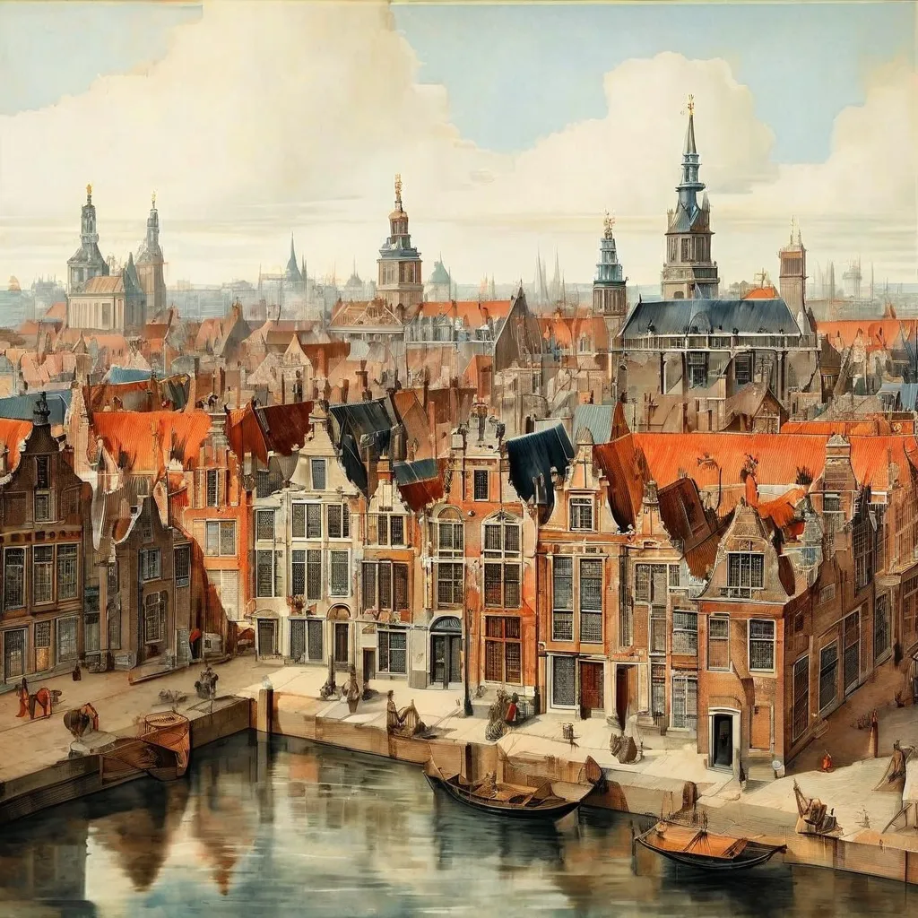
Unique 17th-Century Amsterdam Wall Map Joins Allard Pierson Collection
The Allard Pierson Museum in Amsterdam has recently acquired a remarkable 17th-century wall map, offering an unparalleled view of the city during its Golden Age. This monumental piece of cartography provides the most detailed and reliable depiction of Amsterdam from that period, significantly enhancing the museum's already renowned collection.
A Rare Glimpse of Historic Amsterdam
Spanning over two square metres, this hand-coloured map by Balthasar Florisz. van Berckenrode is composed of nine engraved sheets. What makes it particularly innovative is its orthogonal presentation of Amsterdam – a direct overhead view – with buildings rendered three-dimensionally. This technique creates a vivid and realistic image of the bustling 17th-century city. The map also includes a woodcut title strip proclaiming "Amstelredamum Emporium Hollandiæ Primarium Totiusque Europæ Celeberrimum," identifying Amsterdam as the premier trading post of Holland and Europe.
Originally published in three editions (1625, 1648, 1657), the Allard Pierson's acquisition is a rare first edition from 1625. Only five other institutions worldwide possess a copy of this first edition, but this particular map stands out as the only known coloured version that also includes the unique title strip.
See This Historic Map at the Museum
Visitors to the Allard Pierson Museum can currently experience this exceptional acquisition firsthand. The Van Berckenrode map is a key highlight of the major cartographic exhibition titled Open kaart – from atlas to street map, which runs from March 2 to July 16. This offers a unique opportunity to see how Amsterdam was perceived and mapped centuries ago.
Enhancing Amsterdam's World-Class Map Collection
The Allard Pierson already houses a world-class collection of maps and atlases, a testament to Amsterdam's historical role as an international hub for map production during the 16th and 17th centuries. This new addition significantly enriches the museum's holdings, particularly its extensive collection of maps detailing Amsterdam and its surrounding regions. The purchase was made possible through the support of the Mondriaan Fund, the Jansonius Fund, P.F. Pauwels, the Steenbergen Fund, the Historical Cartography Fund, the Amsterdam University Fund, and the Friends of the Allard Pierson.
Discovering such unique pieces of history is part of exploring the rich cultural landscape of Amsterdam. Musemap (musemap.art) helps uncover fascinating spots like the Allard Pierson Museum and other museums across the city. You can also explore a map to find more cultural experiences nearby.